SPACE
CHALLENGE
Canon Electronics’ Challenge
~The origin story and History~
Origin
The origin story

1999: Sakamaki was appointed President of Canon Electronics Inc. (CE) with a dream of entering the space industry. From his experience participating in many new product launches as a member of Canon Inc.'s R&D division, he knew that CE possessed the technology and expertise in precision machines and optics to enter the satellite manufacturing market.
2002: Sakamaki was inspired by a conversation with a friend, "the coming era will belong to those who rule near-Earth space,” he intuitively felt "this is our chance!".
With a clear path to realizing his dream, Sakamaki had implemented a series of bold reorganizations in management in order to build up the necessary funds and worked tirelessly to recruit talented and experienced human resources. In 2009, Sakamaki officially kicked off CE's challenge to enter the space industry.
History
Major milestones in CE Space
- 2017.06
- The first micro-satellite, CE-SAT-I, was launched from the Satish Dhawan Space Centre in India and orbited the Earth at an altitude of 500 km. This marked the first successful launch of a self-funded satellite by a private company in Japan's history.
- 2017.08
- Canon Electronics, in partnership with IHI Aerospace, Shimizu corporation, and Development Bank of Japan, established SPACE ONE Co., Ltd. (formaly New Generation Small Rocket Development Planning Co. Ltd.).
- 2018.02
- JAXA succeeded in launching the small rocket "SS-520-5" with a total length of less than 10 meters. Canon Electronics provided several components including avionics.
- 2020.10
- The third micro-satellite, CE-SAT-IIB, was launched from New Zealand. The satellite entered a 500km sun-synchronous orbit. The satellite was equipped with three cameras including the ultra- high-sensitivity camera , along with other in-house developed components.
For making the telescope series, CE had started a two-year demonstration experiment and it is still ongoing.
BUSINESS
Three Pillars of Satellite Business
SATELLITE
Ready-made and Semi-custom Satellites
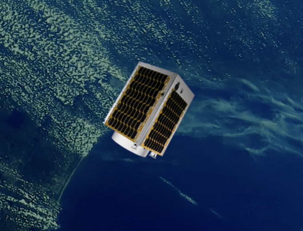
CE sells satellites by leveraging its own experience in developing and demonstrating micro-satellites. Satellite buses to equip small and medium size telescopes are also being demonstrated, and we can propose performance that meets your needs by semi-customization.
Micro-satellite CE-SAT-IE
|
|
||
|
|
|
|
Micro-satellite CE-SAT-IIB
|
|
||
|
|
|
|
Micro-satellite CE-SAT-I
|
|
||
|
|
|
|
COMPONENTS
② In-house Components
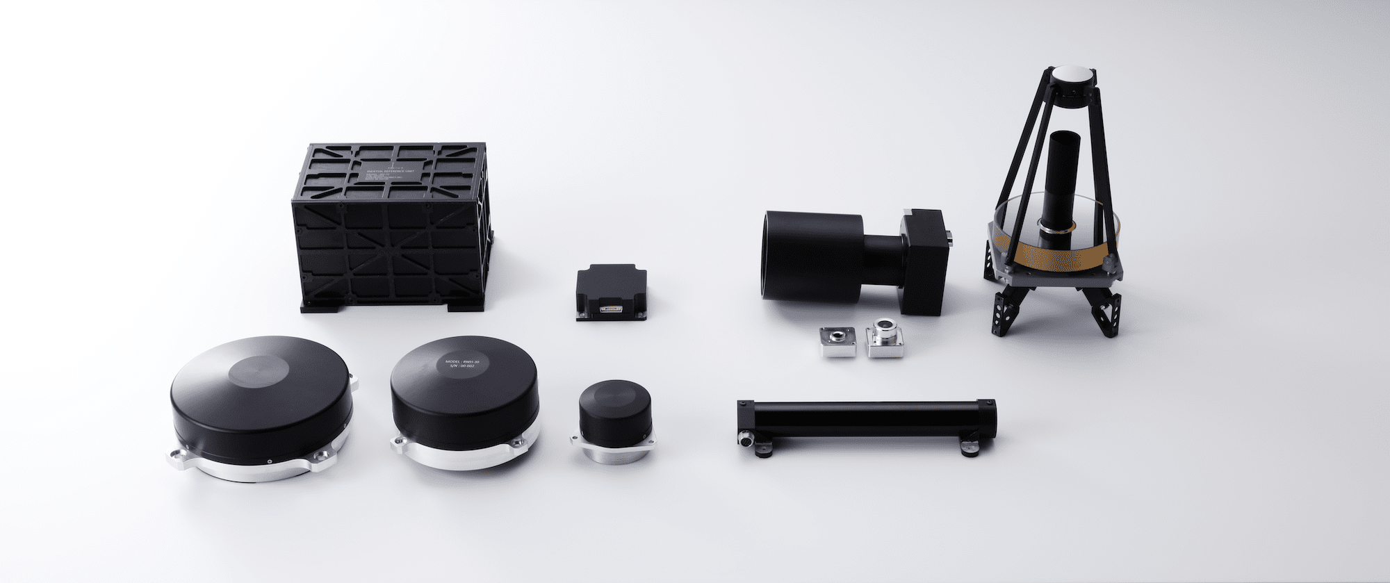
- Optical payloads
-
Telescopes and cameras leveraging the full optical expertise of Canon
Space Telescopes
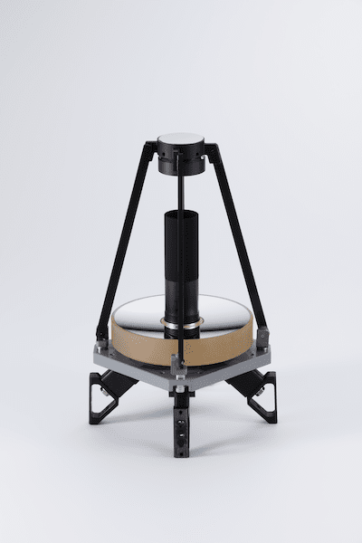

Super telephoto optical system for taking high-resolution photographs of the ground from orbit (maximum aperture 400mm)
- Originally designed high-performance Cassegrain system with correction lenses
- Equipped with focusing actuator
- Equipped with a space camera using Canon's CMOS sensor
- Actuators
-
Satellite actuators based on CE experience with motors and magnetic components
Magnetorquer
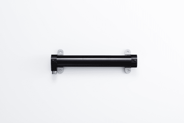

Magnetic actuator for controlling satellite attitude via interactions with the Earth magnetic field
Reaction Wheel
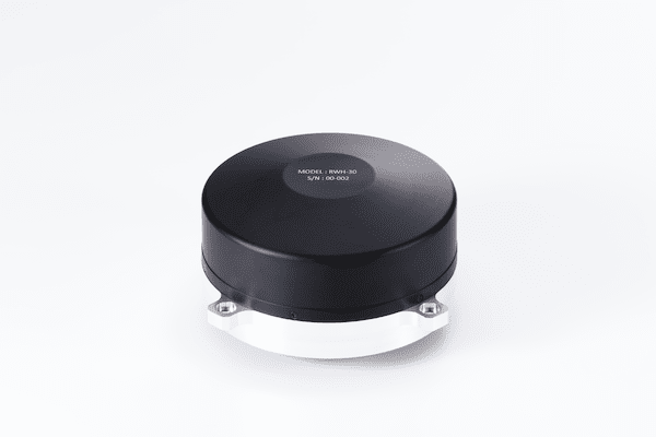

Actuator for controlling spacecraft attitude via momentum transfer to a rotating wheel
- Sensors
-
Precise sensors for determining satellite attitude
Sun Sensor
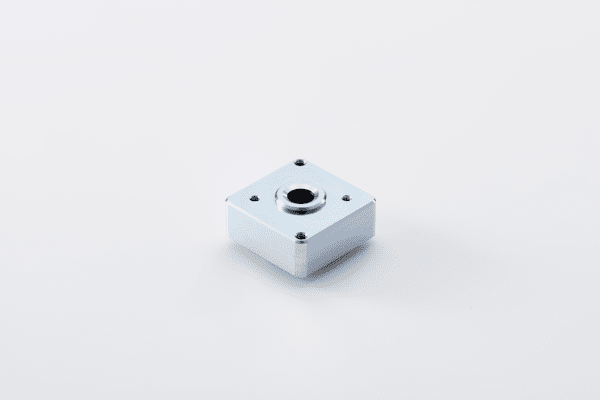

Determines the direction of the sun on a satellite by detecting sunlight
Star Tracker
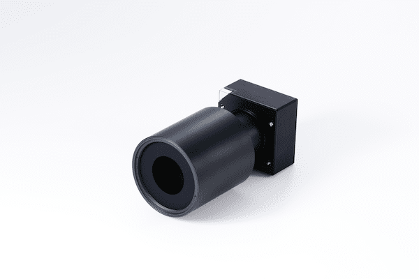

Sensors for highly accurate determination of the attitude of satellites from the direction of stars
- Originally designed optical system using radiation-resistant optical glass
- Robust attitude detection by using original algorithm
- Lost-in-space star identification in 1 second
Geomagnetic Sensor
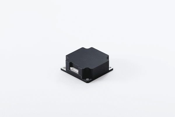

Measures the geomagnetic field vector by detecting differences in the coil current
Inertial Reference Unit
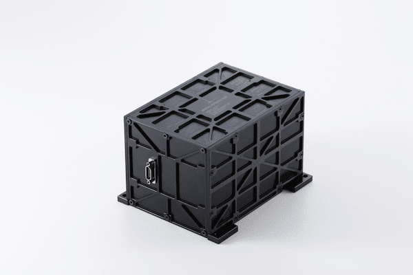

Measures angle and angular rate; comprised of multiple gyroscopes
DATA
Satellite Imagery
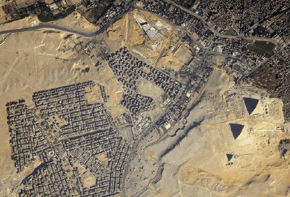
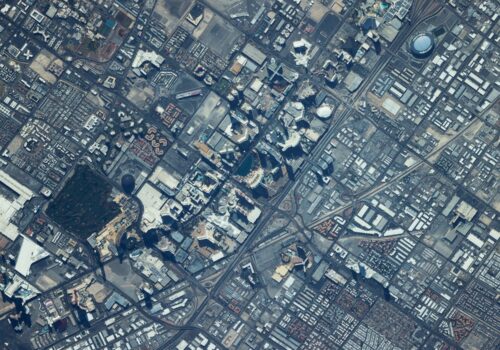
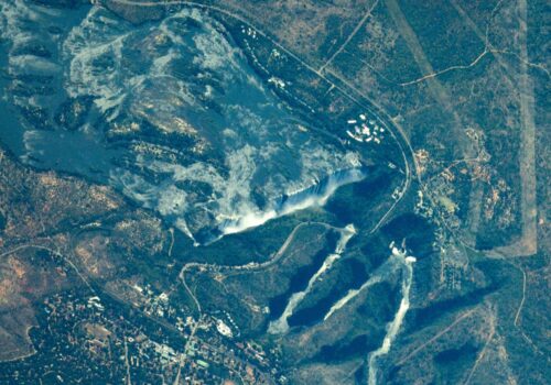
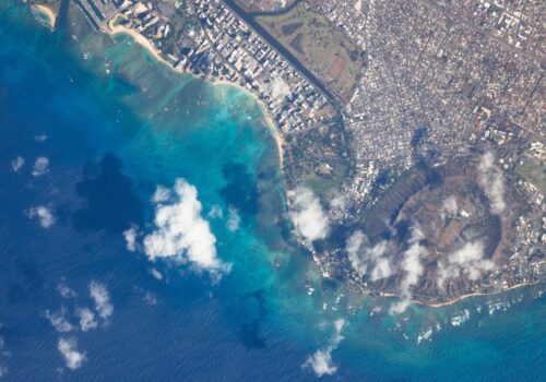
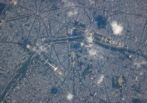
Canon Electronics’ Micro-satellite CE-SAT series capture high-resolution photographs of the Earth's surface and outer space.
CE-SAT image data is provided through the Remote Sensing Technology Center “RESTEC”.
Remote Sensing Technology Center
https://www.restec.or.jp/en/
Examples of Satellite Data Use
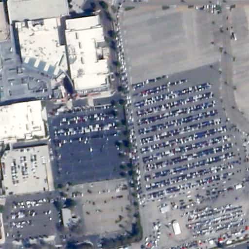
Monitoring parking lots
|
||

|
With photographs at regular intervals, the use rate of parking lots may be calculated. Tracking changes in use with seasons or time of day allows improvements in logistics and resource allocation. |
|
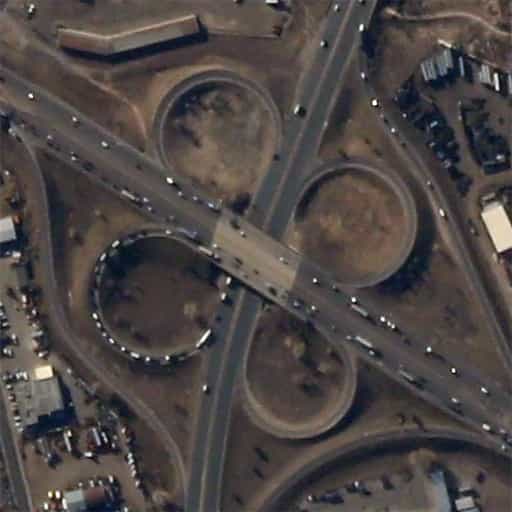
Monitoring traffic conditions
|
||

|
By monitoring traffic density or lengths of traffic jams, it is possible to determine fastest routes in near real time. CE-SAT-I imagery allows distinction between semi-trailer trucks and passenger vehicles, which further aids in optimizing navigation routes. |
|
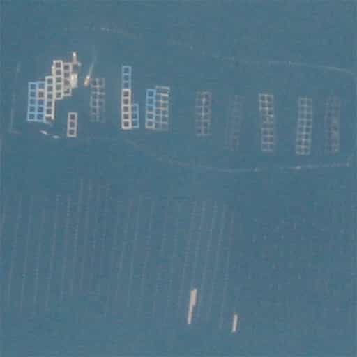
Fishing industry
|
||

|
High resolution satellite imagery can gather data from remote locations, including over water. This allows monitoring of fish hatcheries or vessels moored off-shore. |
|
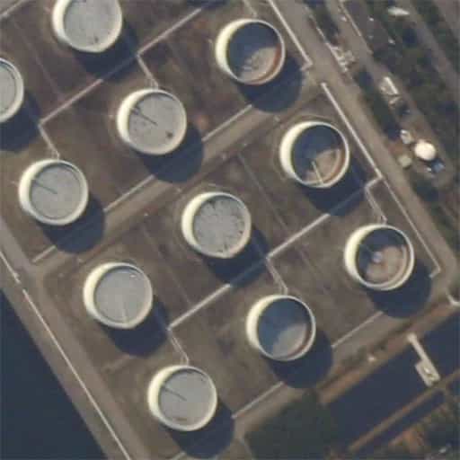
Oil industry
|
||

|
External floating roof tanks are used around the world for storing petroleum products. With high-resolution satellite imagery, it is possible to measure the contents of the tanks, giving market analysts an edge. |
|
SATELLITE
PHOTO GALLERY
-
Ultra High Sensitivity Space Camera
-
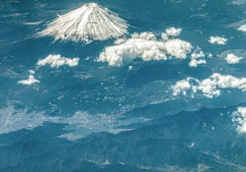
Ultra High Sensitivity Space Camera Mt.Fuji ・Lake Kawaguchiko・Lake Saiko -
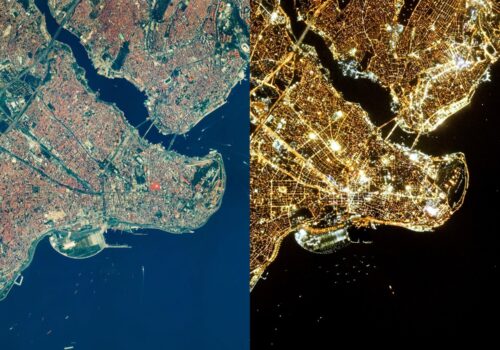
Ultra High Sensitivity Space Camera Istanbul -
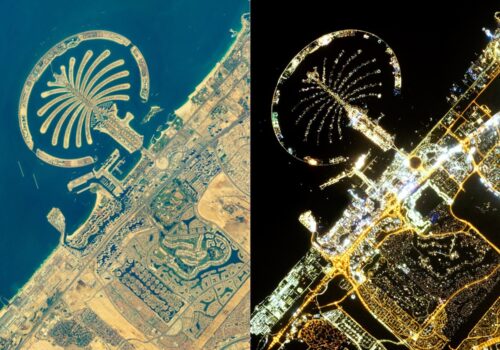
Ultra High Sensitivity Space Camera Dubai -
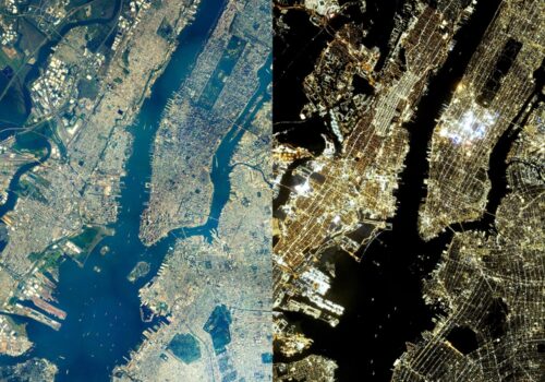
Ultra High Sensitivity Space Camera New York City -
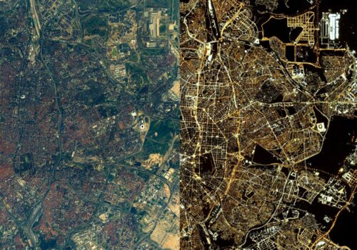
Ultra High Sensitivity Space Camera Madrid -
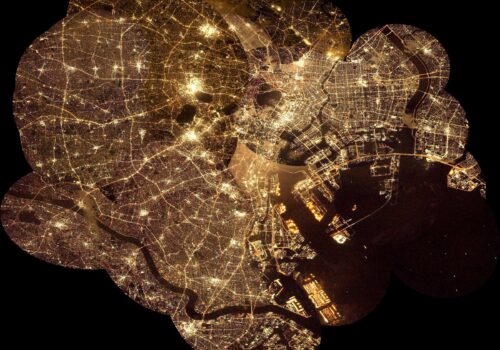
Ultra High Sensitivity Space Camera Tokyo (Mozaic image) -
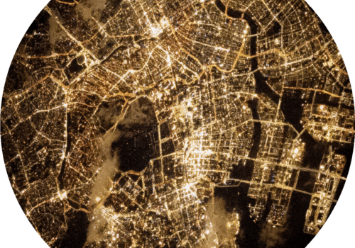
Ultra High Sensitivity Space Camera Around Tokyo station -
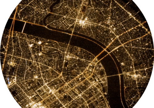
Ultra High Sensitivity Space Camera Arakawa and TOKYO SKYTREE -
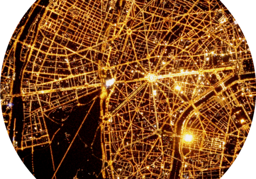
Ultra High Sensitivity Space Camera Paris -
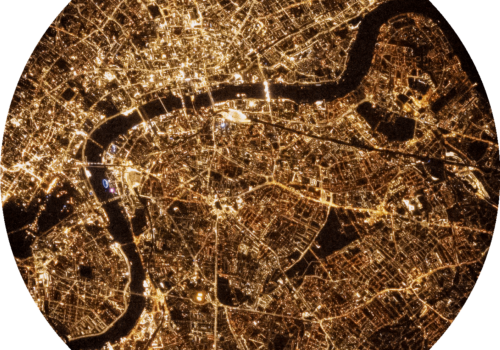
Ultra High Sensitivity Space Camera London -
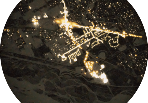
Ultra High Sensitivity Space Camera Noth Pole, Alaska -
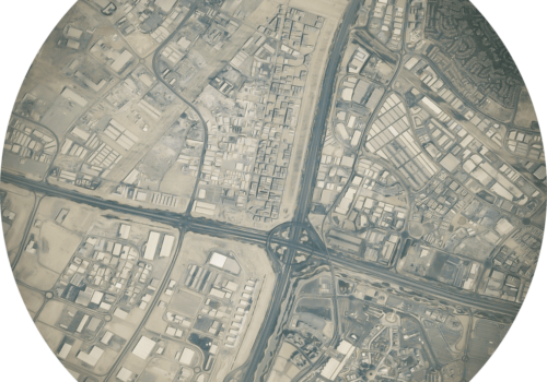
Ultra High Sensitivity Space Camera Dubai Expo (Day) -
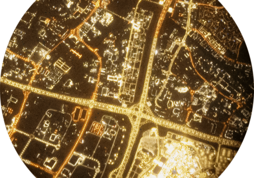
Ultra High Sensitivity Space Camera Dubai Expo (Night) -
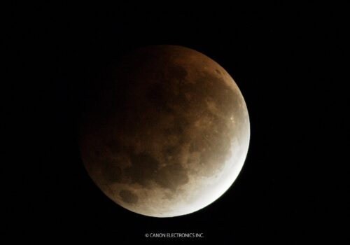
Ultra High Sensitivity Space Camera Super moon 2021 -
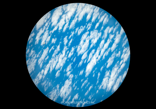
Ultra High Sensitivity Space Camera International Space Station -
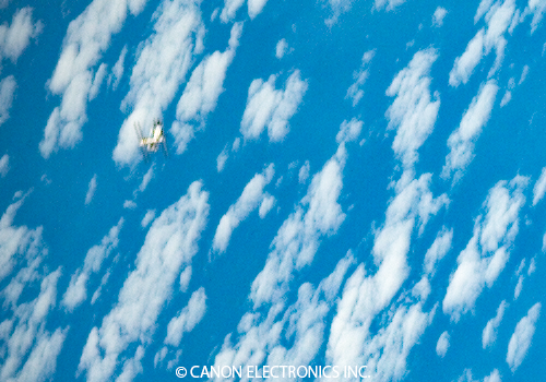
Ultra High Sensitivity Space Camera International Space Station ( Clipped image )
-
EOS 5D Mark Ⅲ
-
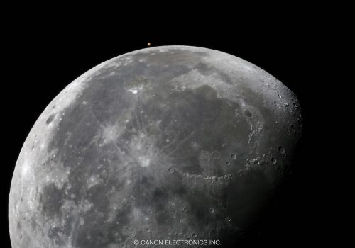
EOS 5D Mark Ⅲ The Moon and Mars -
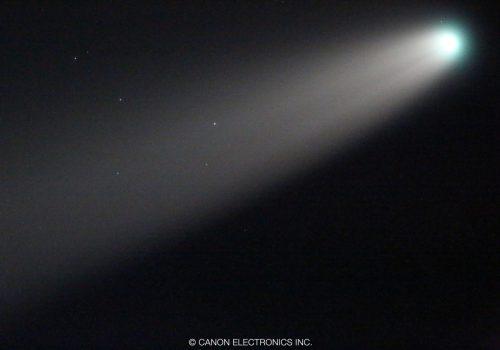
EOS 5D Mark Ⅲ Comet NEOWISE (C/2020 F3) -
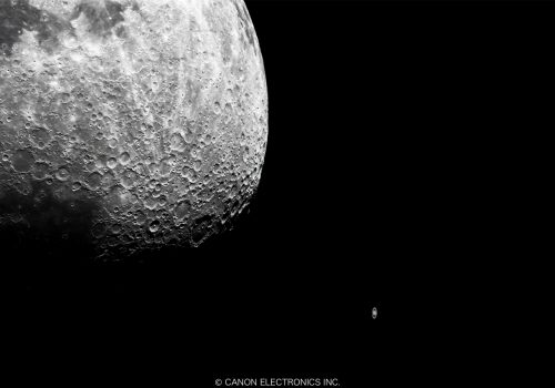
EOS 5D Mark Ⅲ The Moon and Saturn -
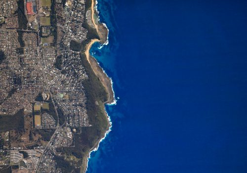
EOS 5D Mark Ⅲ Sydney -
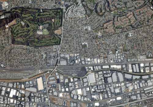
EOS 5D Mark Ⅲ Los Angeles -
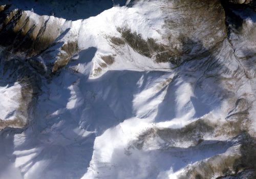
EOS 5D Mark Ⅲ Alaska -
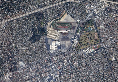
EOS 5D Mark Ⅲ Shopping mall (Los Angeles) -
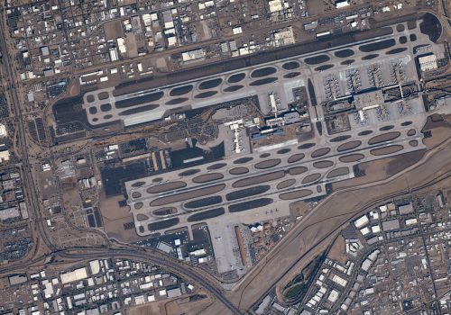
EOS 5D Mark Ⅲ Phoenix Sky Harbor International Airport -
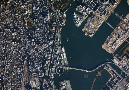
EOS 5D Mark Ⅲ Tokyo (Shinagawa) -
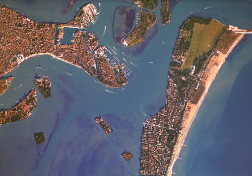
EOS 5D Mark Ⅲ Venice -
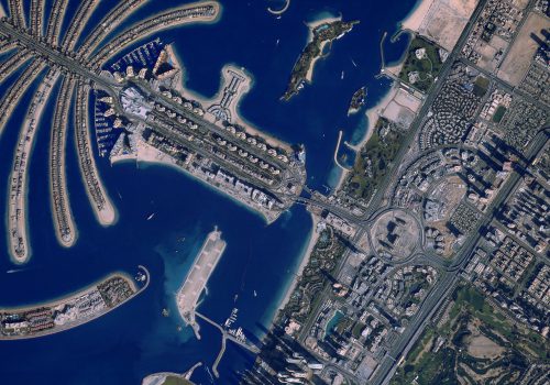
EOS 5D Mark Ⅲ Dubai -
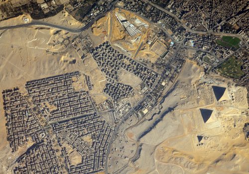
EOS 5D Mark Ⅲ Cairo (Giza pyramid complex) -
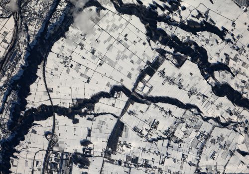
EOS 5D Mark Ⅲ Canon Electronics Akagi Plant -
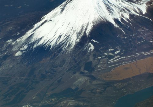
EOS 5D Mark Ⅲ Mt. Fuji (Yoshida Trail) -

EOS 5D Mark Ⅲ Mt. Everest -
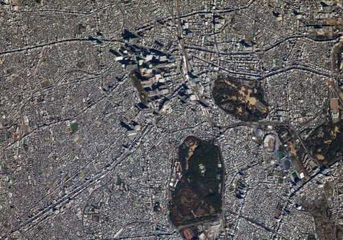
EOS 5D Mark Ⅲ Tokyo (Shinjuku) -
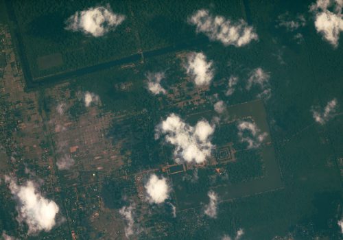
EOS 5D Mark Ⅲ Siem Reap (Angkor Wat) -
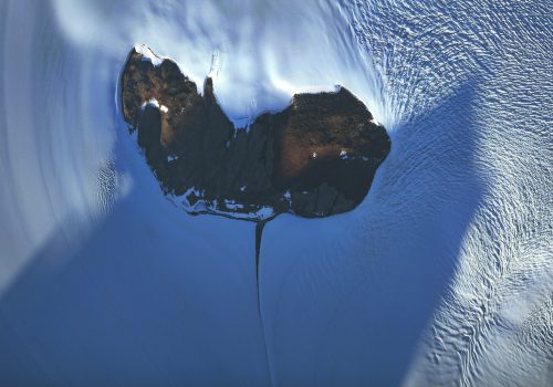
EOS 5D Mark Ⅲ Antarctica -
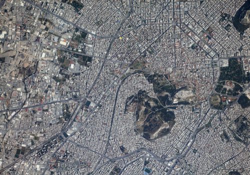
EOS 5D Mark Ⅲ Athens (Parthenon) -
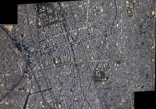
EOS 5D Mark Ⅲ Nagoya (stitched) -
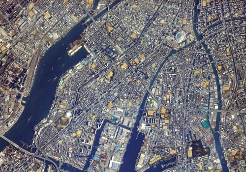
EOS 5D Mark Ⅲ Osaka -
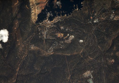
EOS 5D Mark Ⅲ Grand Canyon -
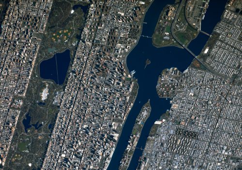
EOS 5D Mark Ⅲ New York City -
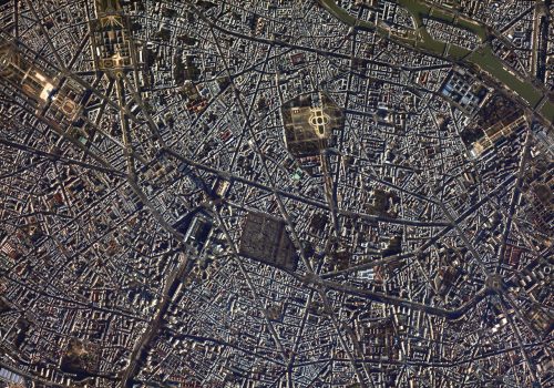
EOS 5D Mark Ⅲ Paris -
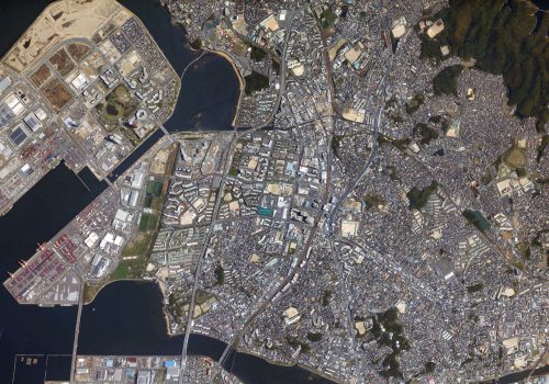
EOS 5D Mark Ⅲ Fukuoka -
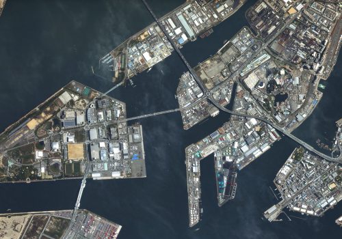
EOS 5D Mark Ⅲ Universal Studios Japan -

EOS 5D Mark Ⅲ Black Rock City (Burning Man site) -
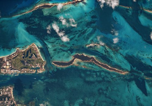
EOS 5D Mark Ⅲ Bahamas (Paradise Island) -
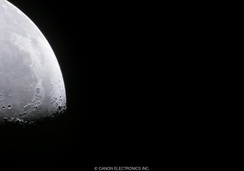
EOS 5D Mark Ⅲ Moon -
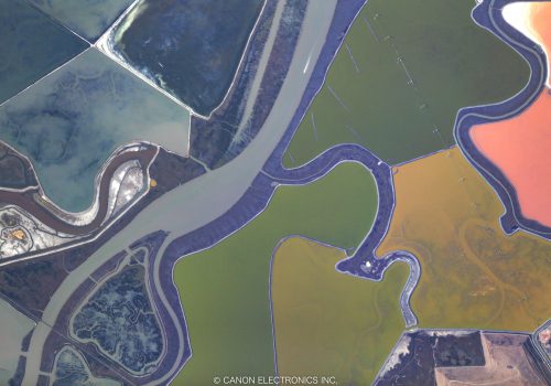
EOS 5D Mark Ⅲ San Jose
-
PowerShot S110
-
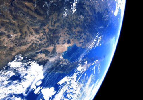
PowerShot S110 Gulf of California taken from the sky over the U.S. -
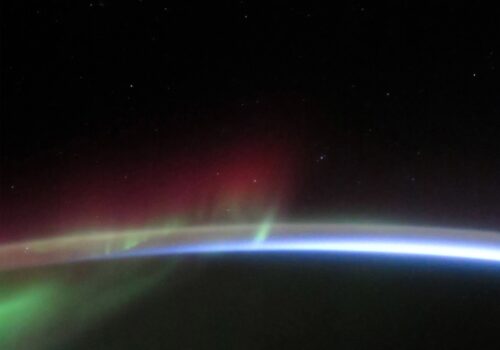
PowerShot S110 Aurora above Antarctica -
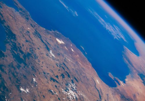
PowerShot S110 Tunisia -
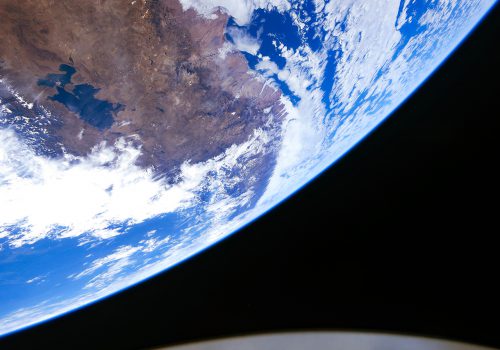
PowerShot S110 Lake Titicaca -
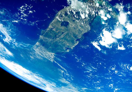
PowerShot S110 Florida -
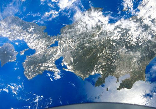
PowerShot S110 Honshu -
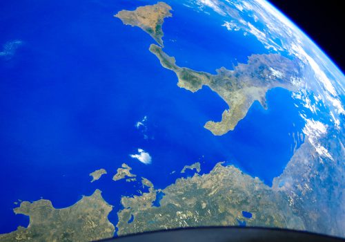
PowerShot S110 Italy and Greece -
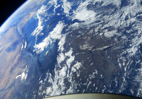
PowerShot S110 Turkey -
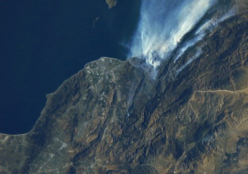
PowerShot S110 California (Thomas Fire) -
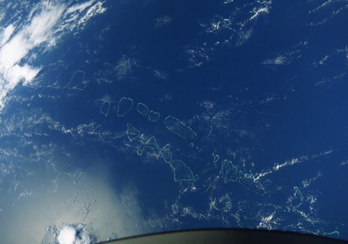
PowerShot S110 Maldives -
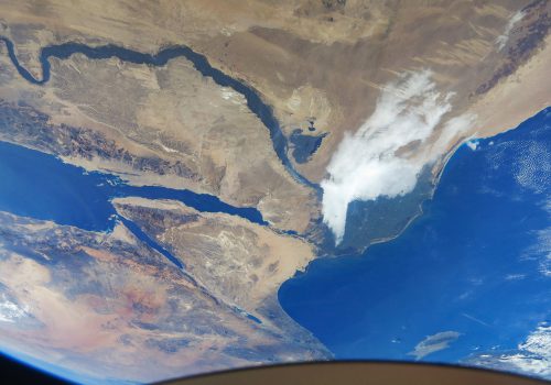
PowerShot S110 Egypt -
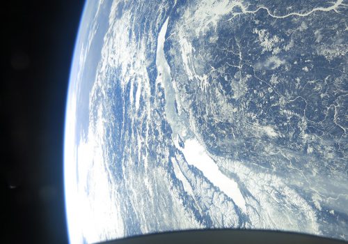
PowerShot S110 Lake Baikal -
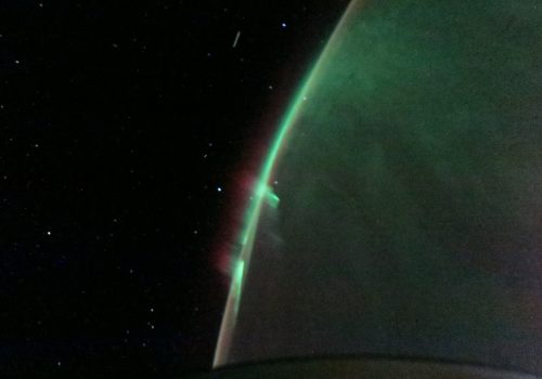
PowerShot S110 Aurora Australis -
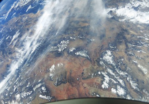
PowerShot S110 Grand Canyon -
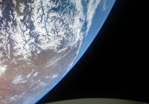
PowerShot S110 Himalayas -
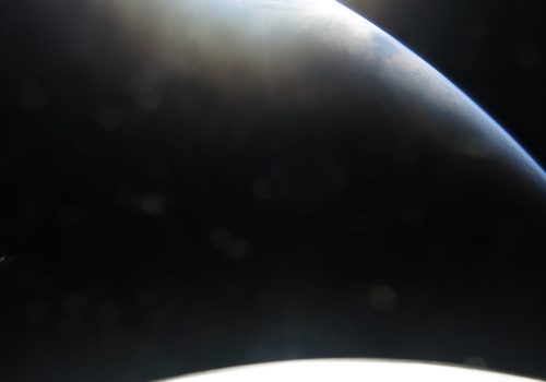
PowerShot S110 Dawn -
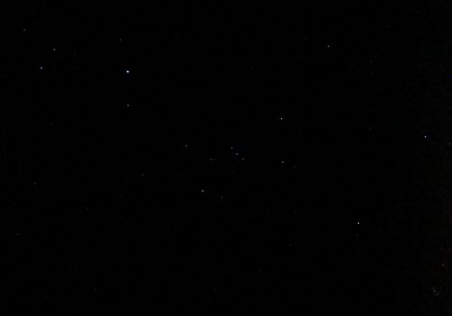
PowerShot S110 Orion -
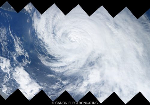
PowerShot S110 Typhoon Talim (stitched) -
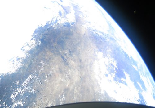
PowerShot S110 Earth and Moon -
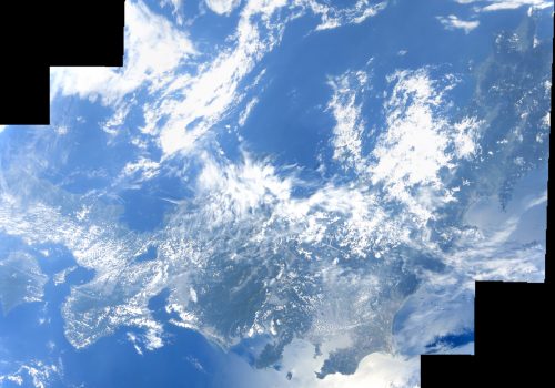
PowerShot S110 Honshu (stitched)


